Location Reference
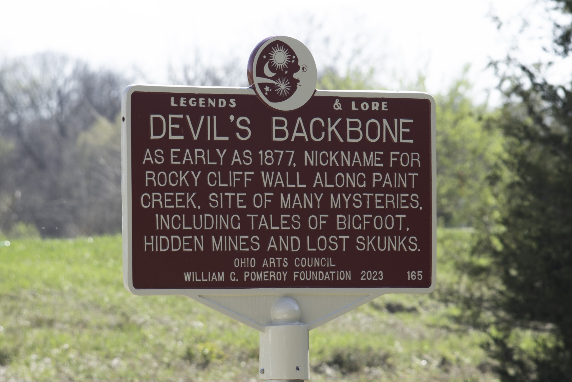
Devil's Backbone
Geologic structure in Preble County Ohio
(Location ID: 265)
39.627553, -84.667173
Camden, Ohio
Google Maps Link
Open Street Maps Link
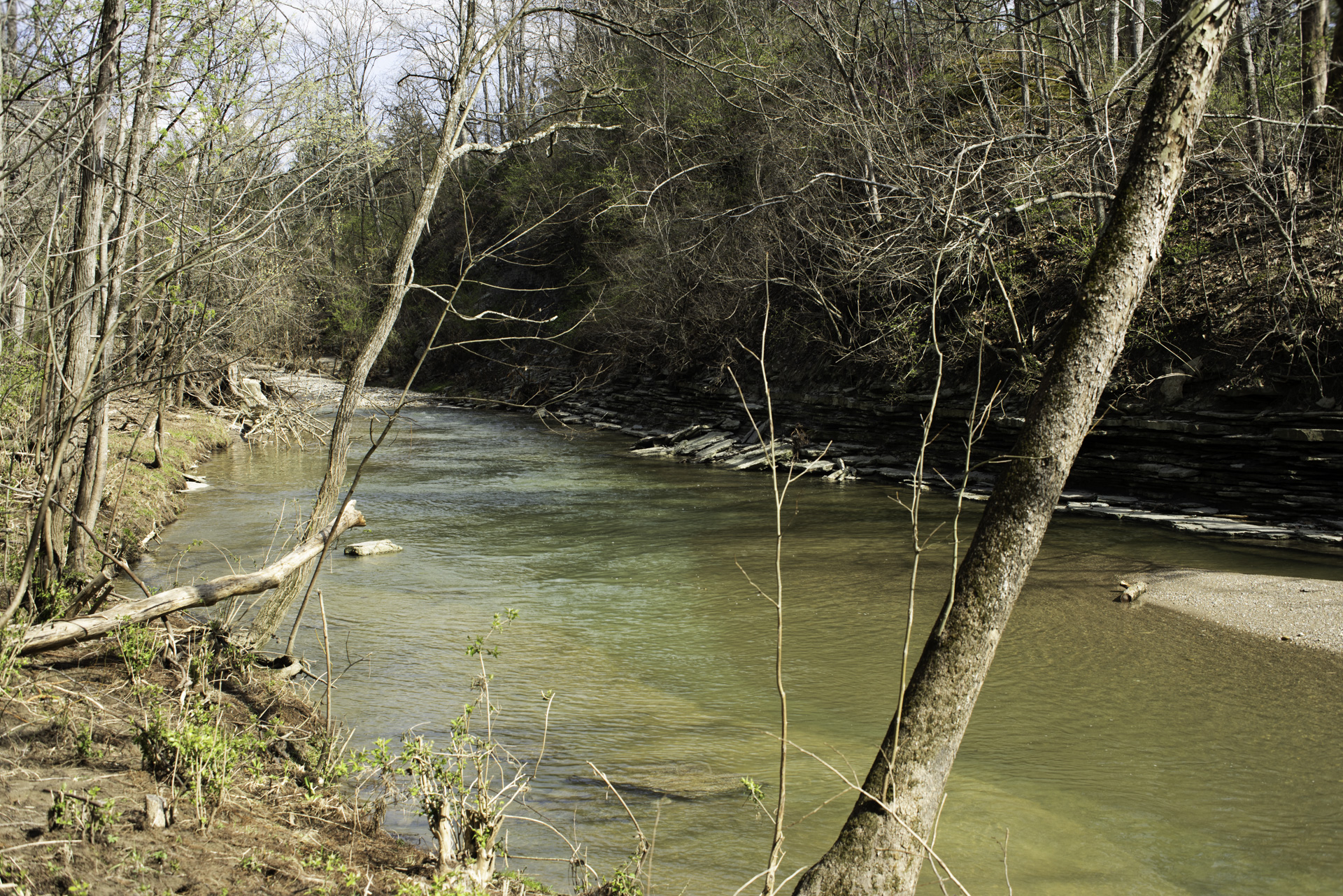
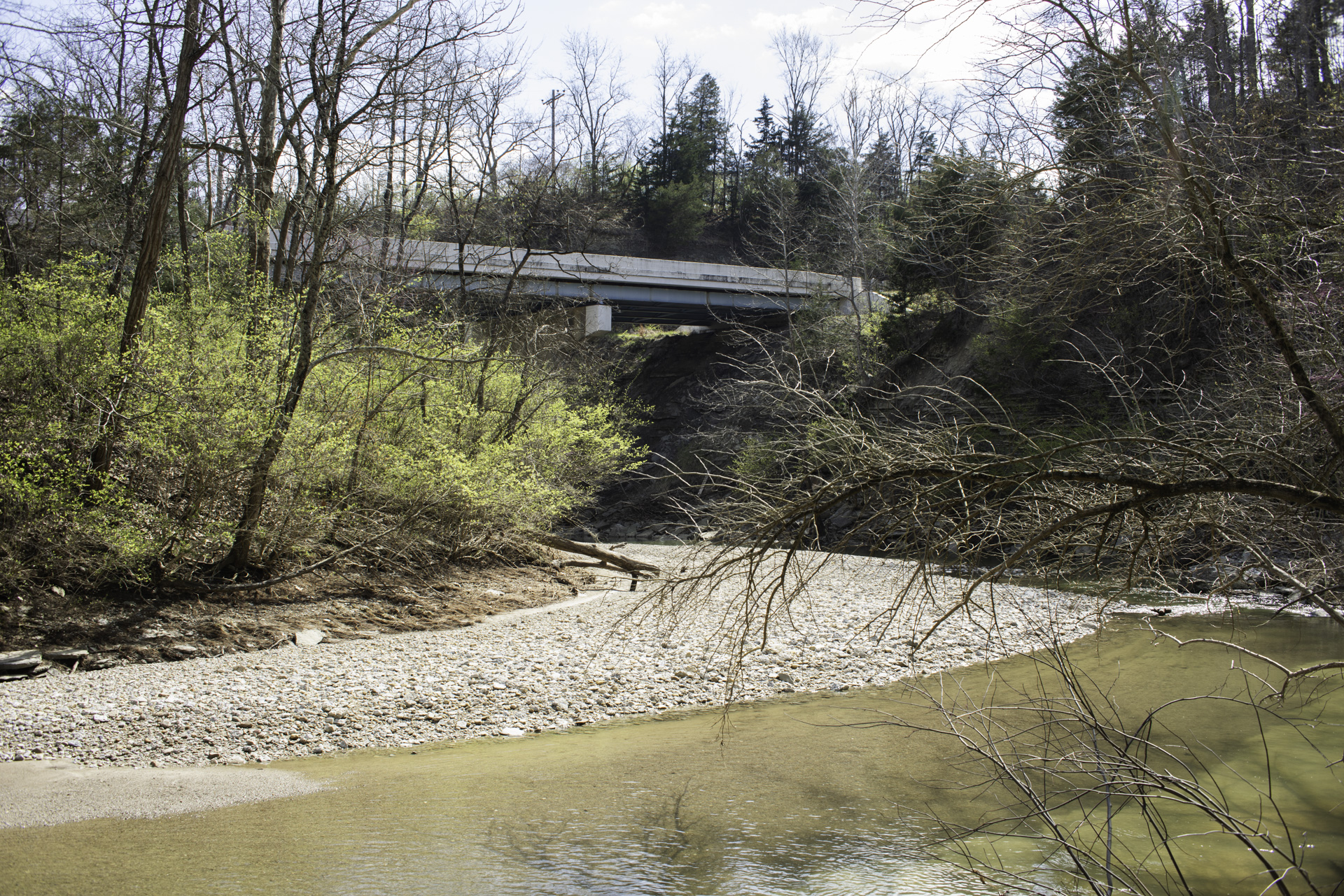
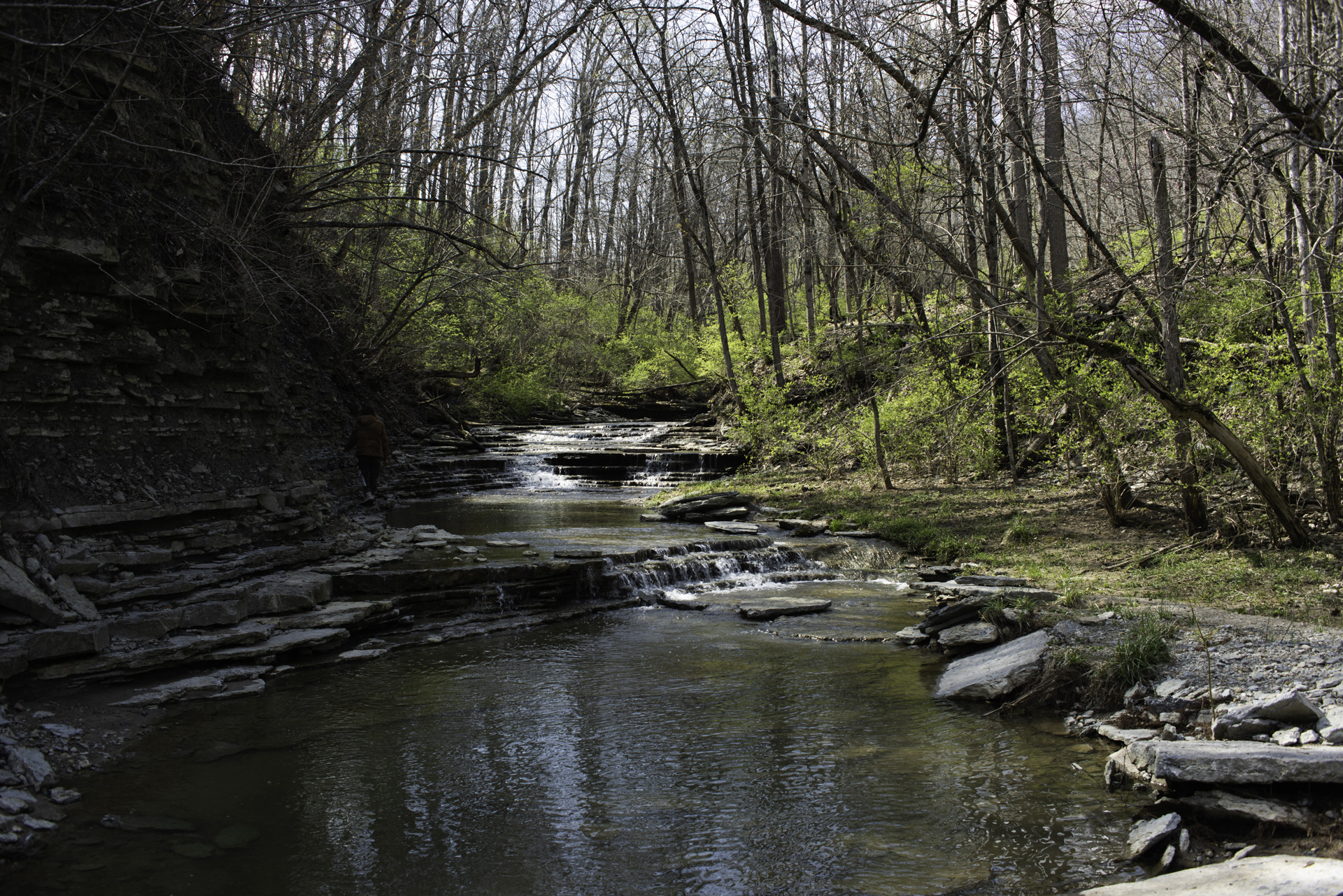
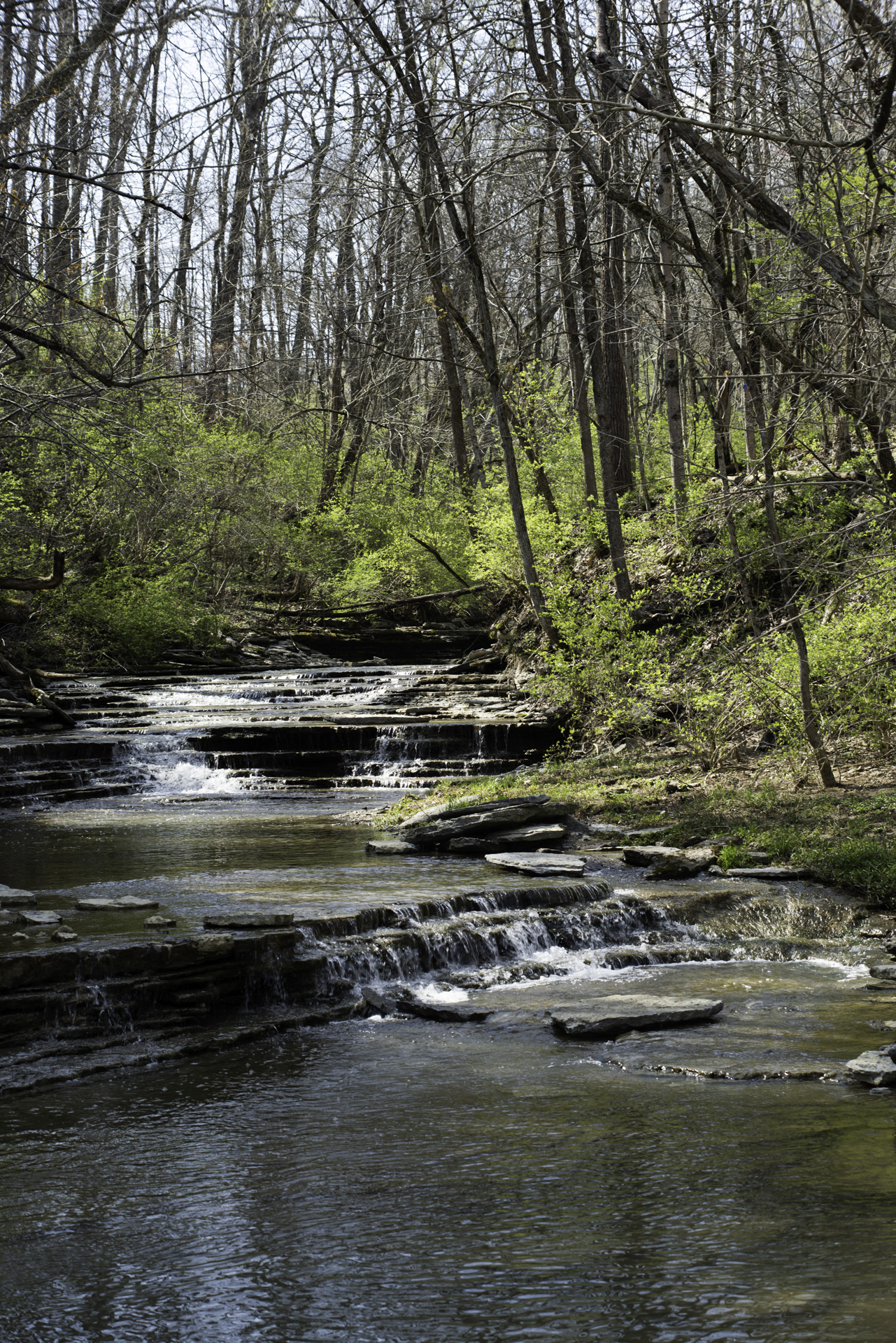
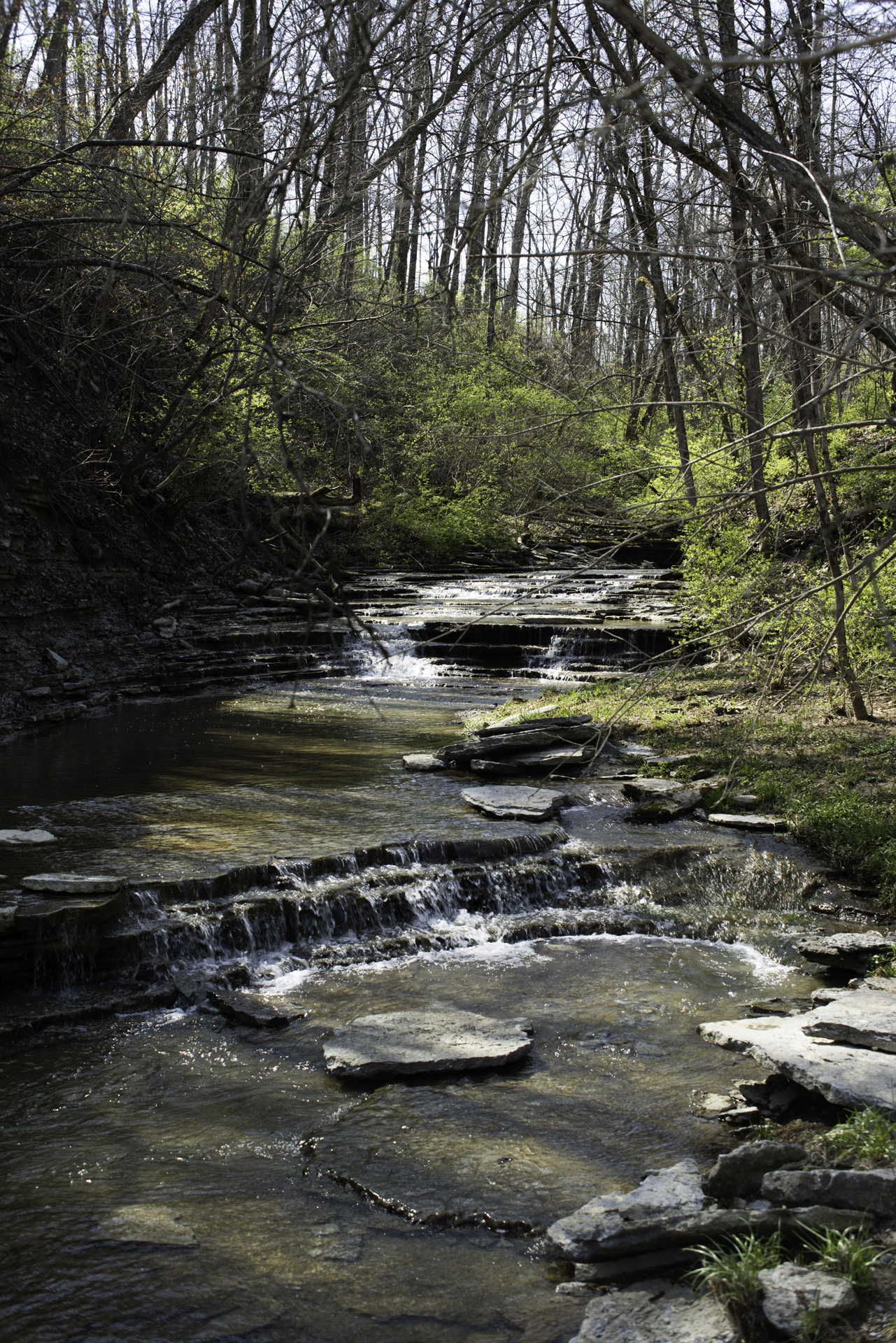
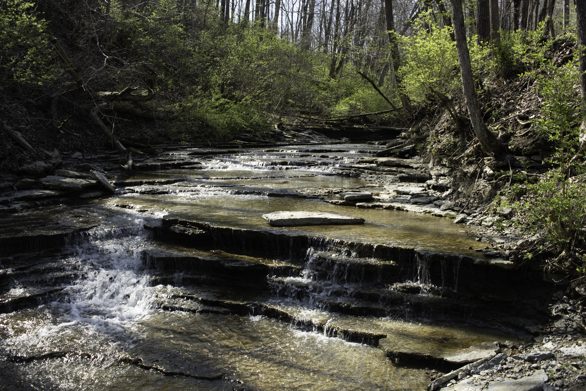
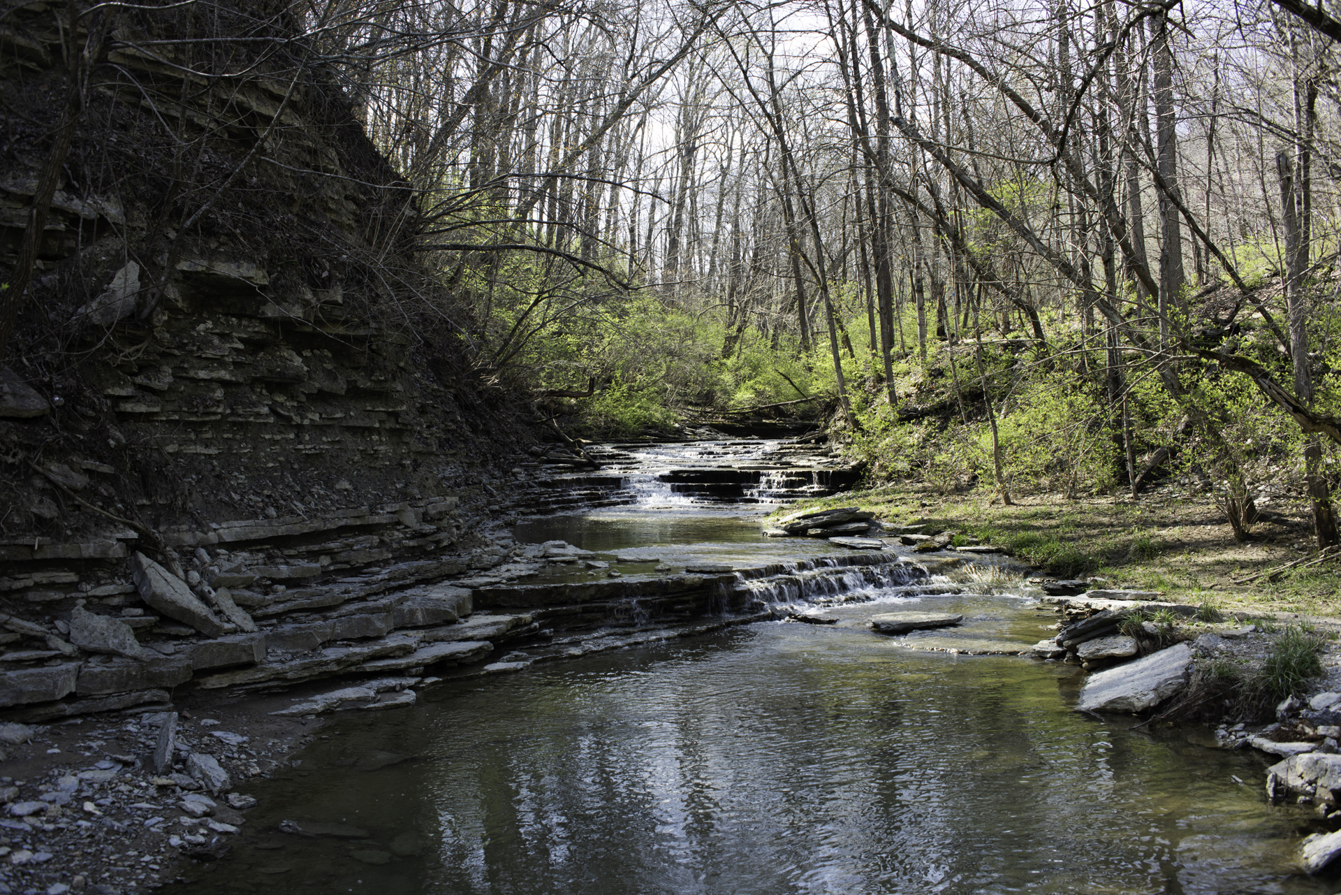
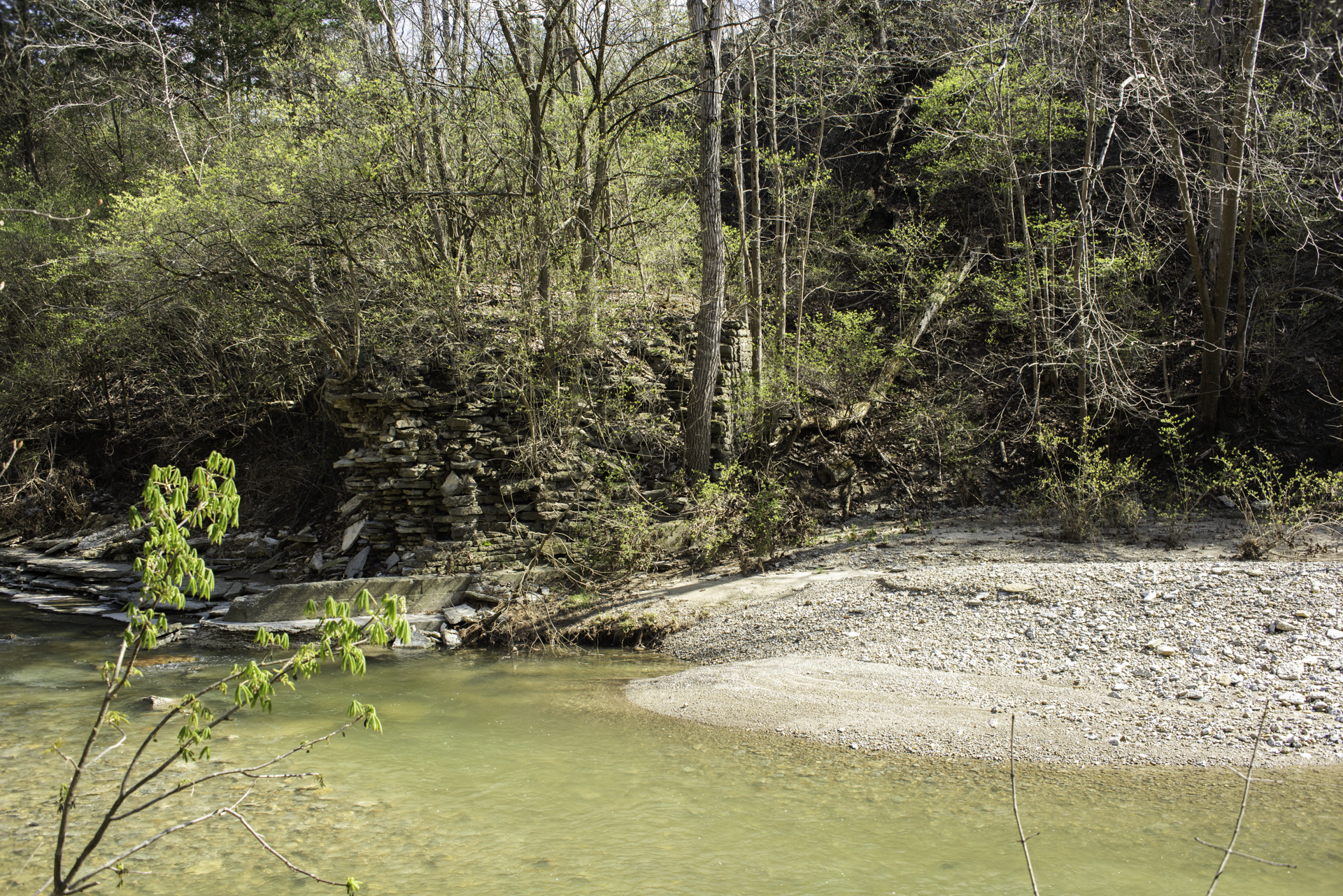
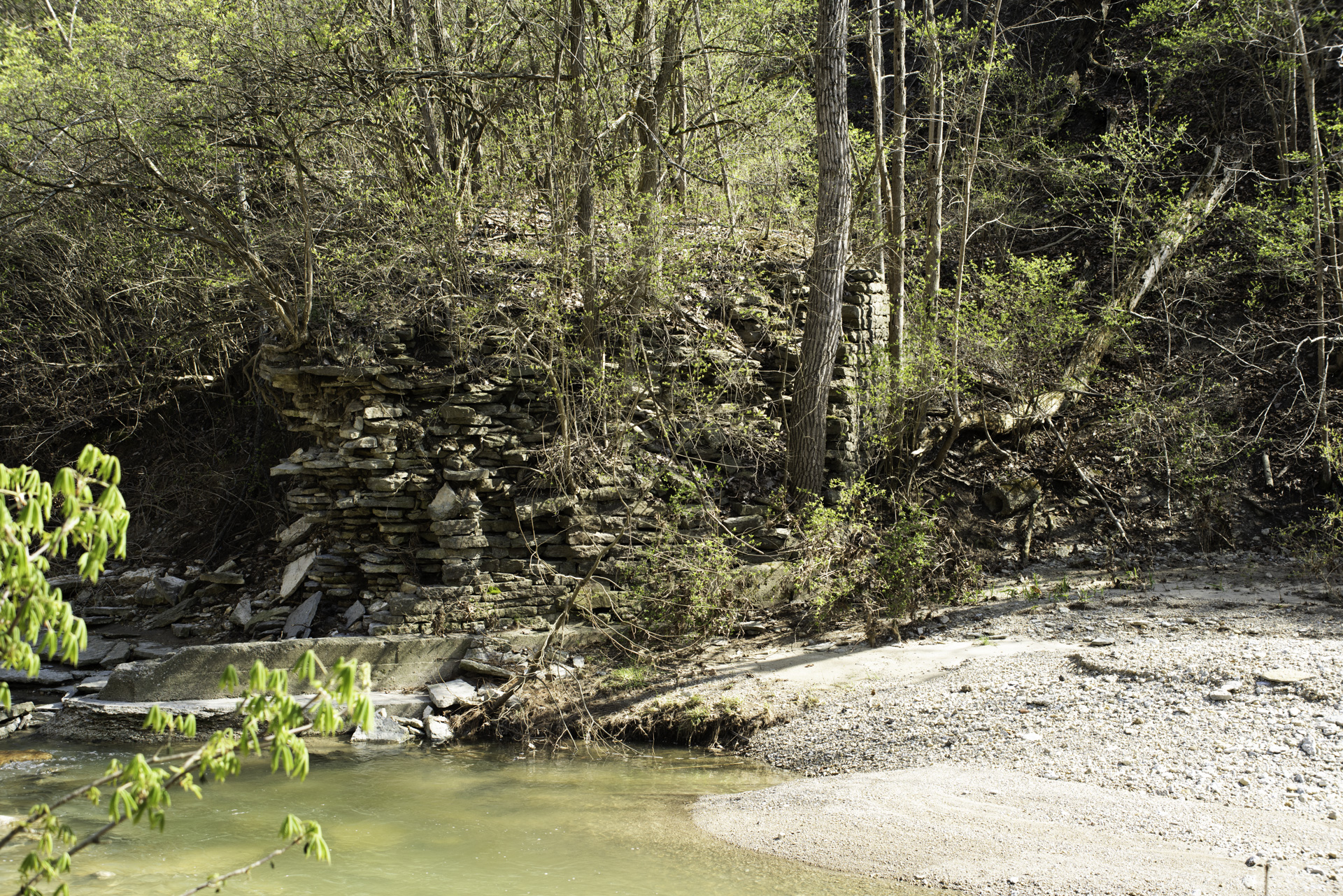
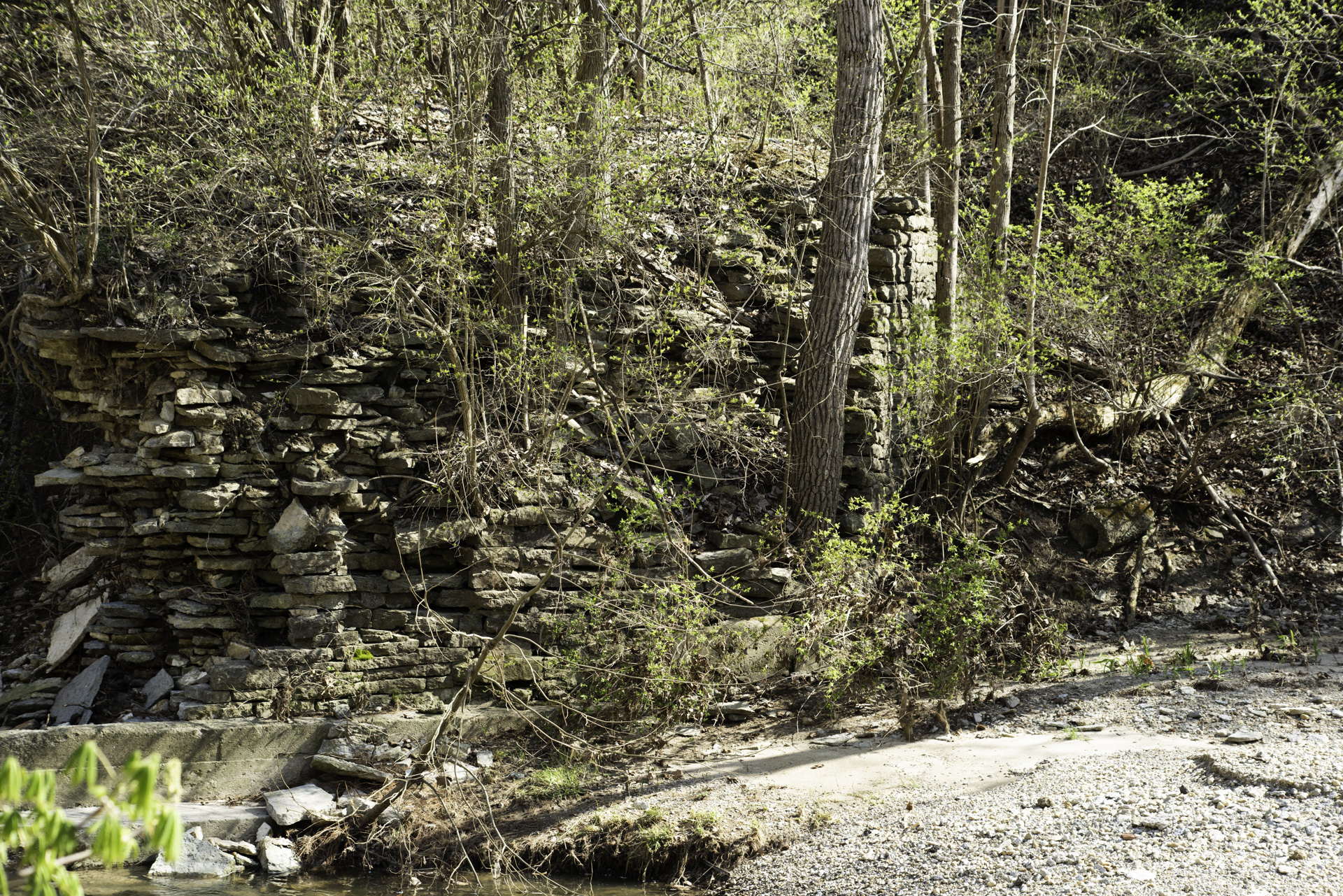
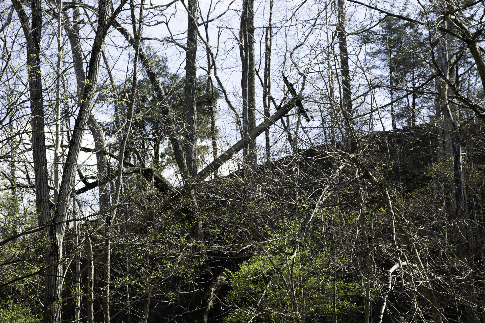
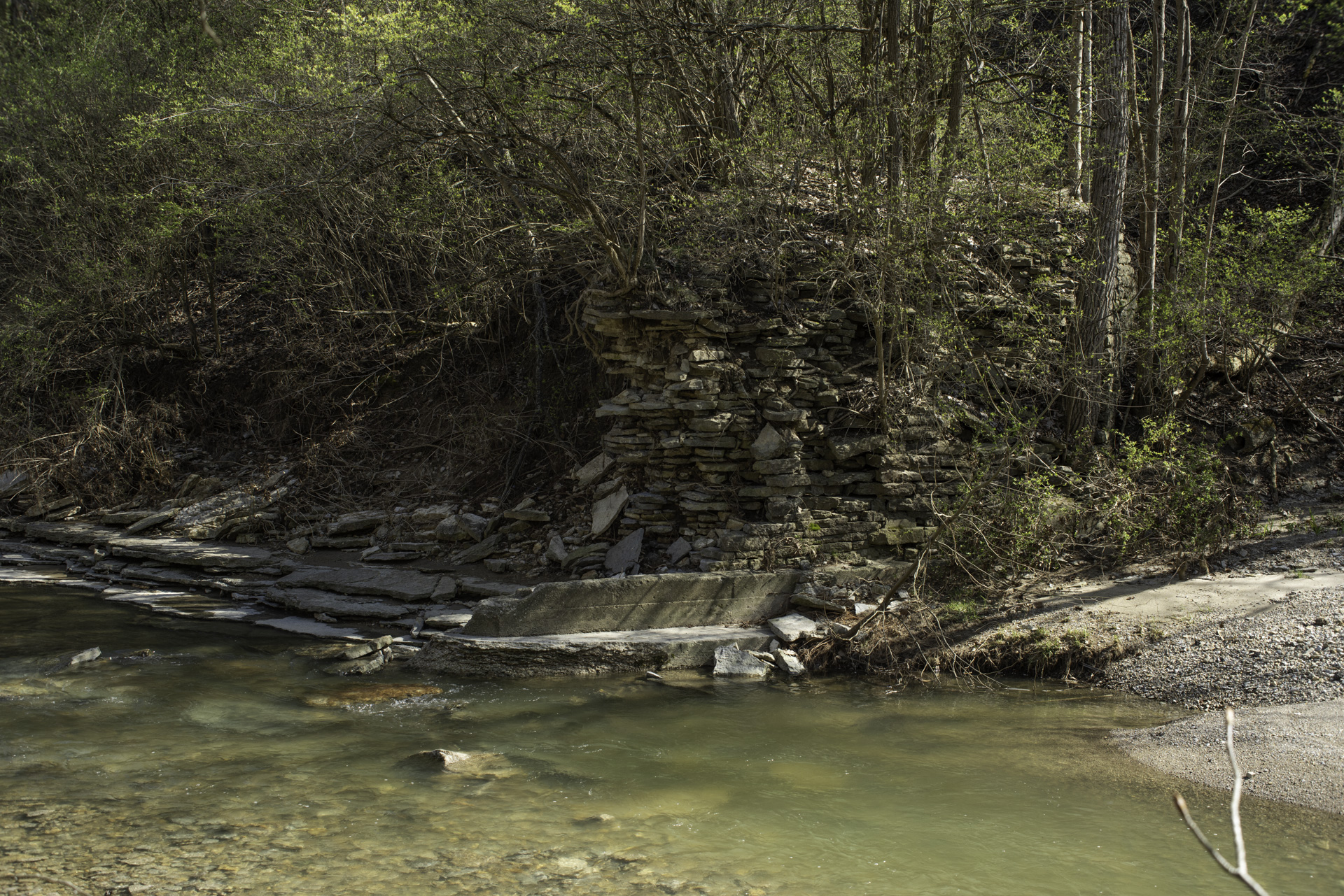
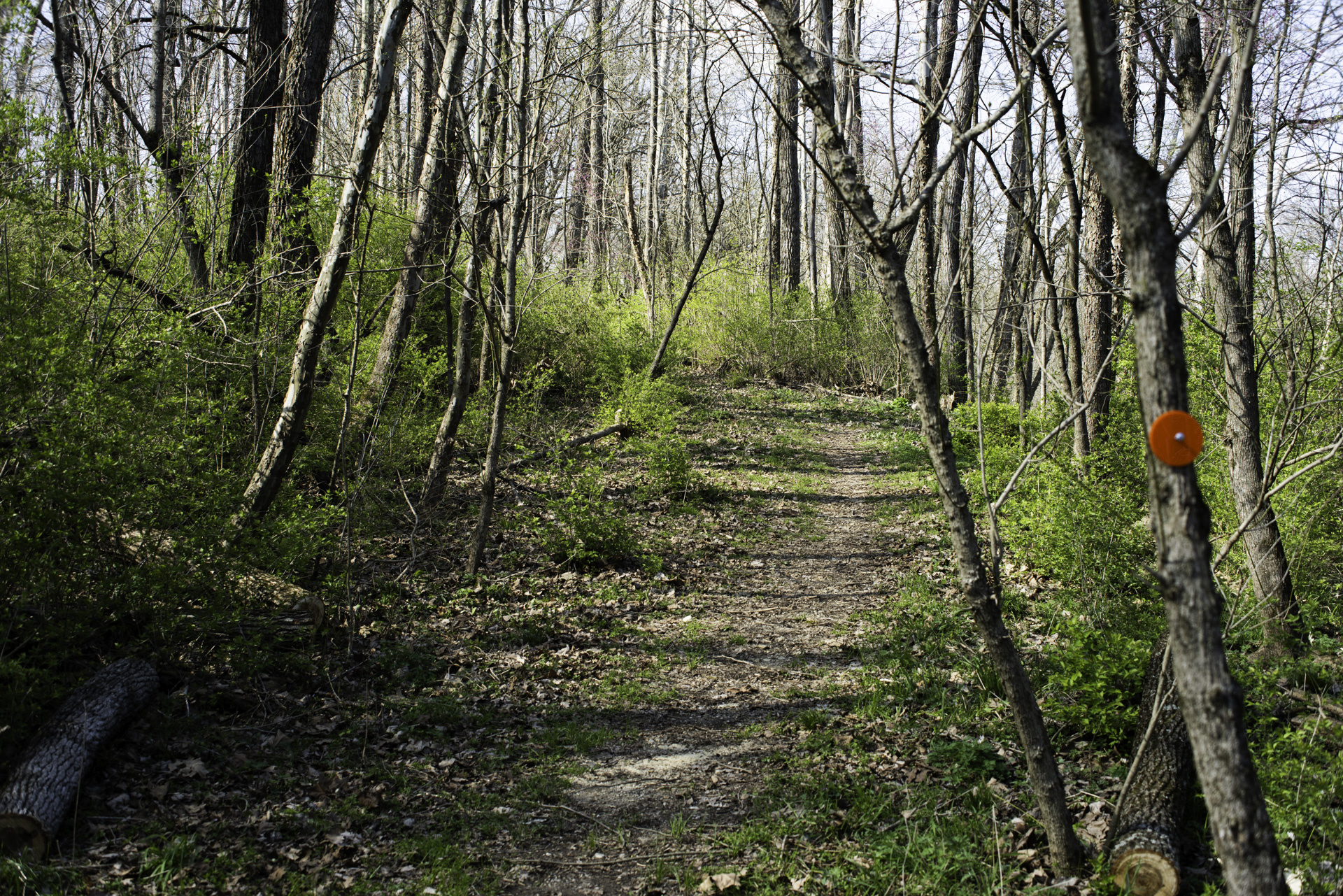
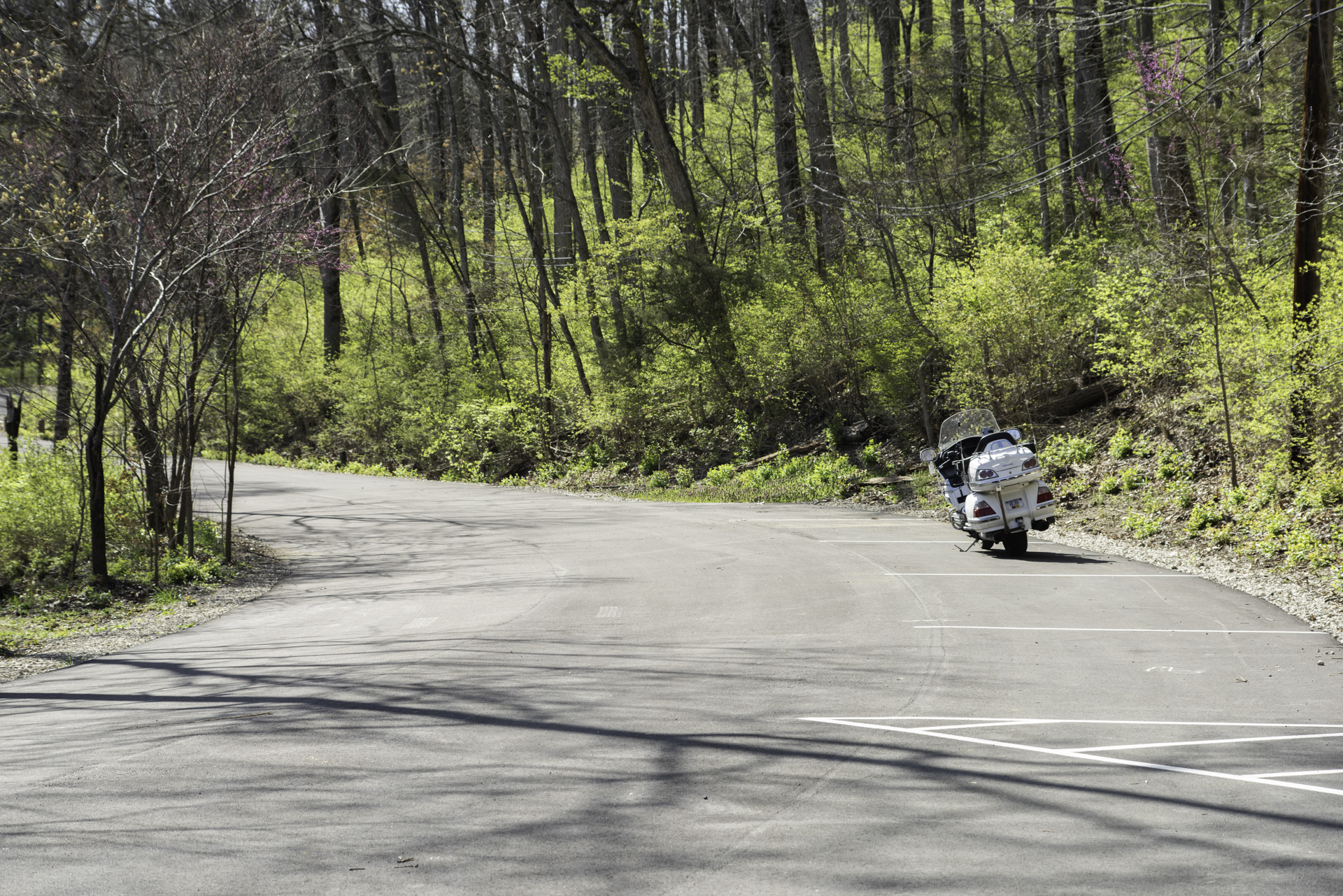
Devil's Backbone is the name given to a ridge that runs along Paint Creek in Preble County Ohio, near Camden. It's highest point is at this location. The area was home to everything from dances and concerts to skunk farms, Bigfoot sightings, unsolved murders and legends of hidden copper mines and Indian burial grounds. The area is currently being developed as a county park and has a nice parking area and several trails along the scenic stream.
Relevant Links:
Register Herald article: Echos of Camdens Past