Location Reference

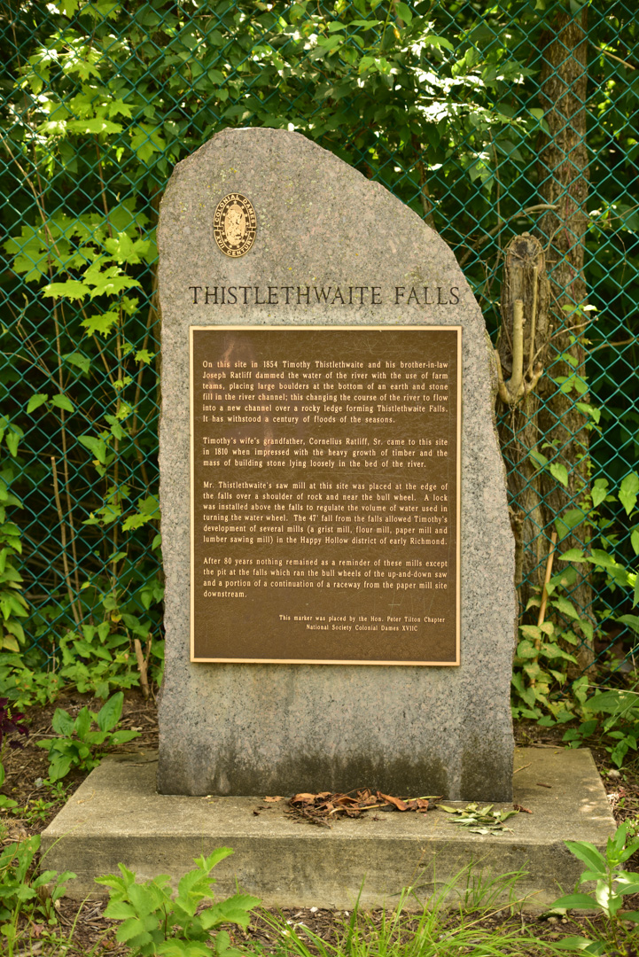
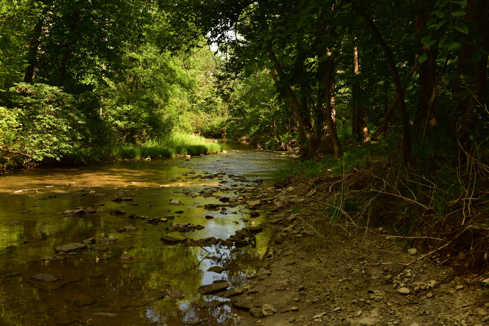
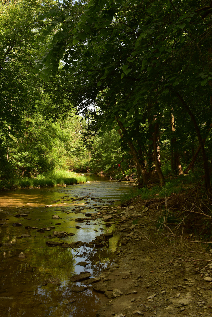
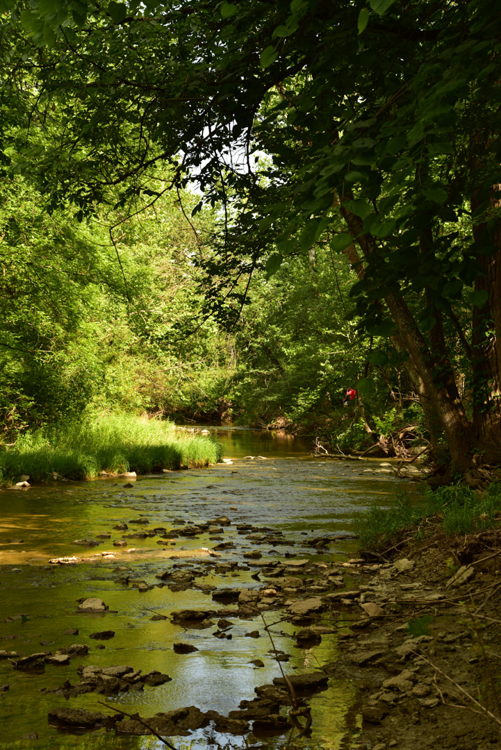
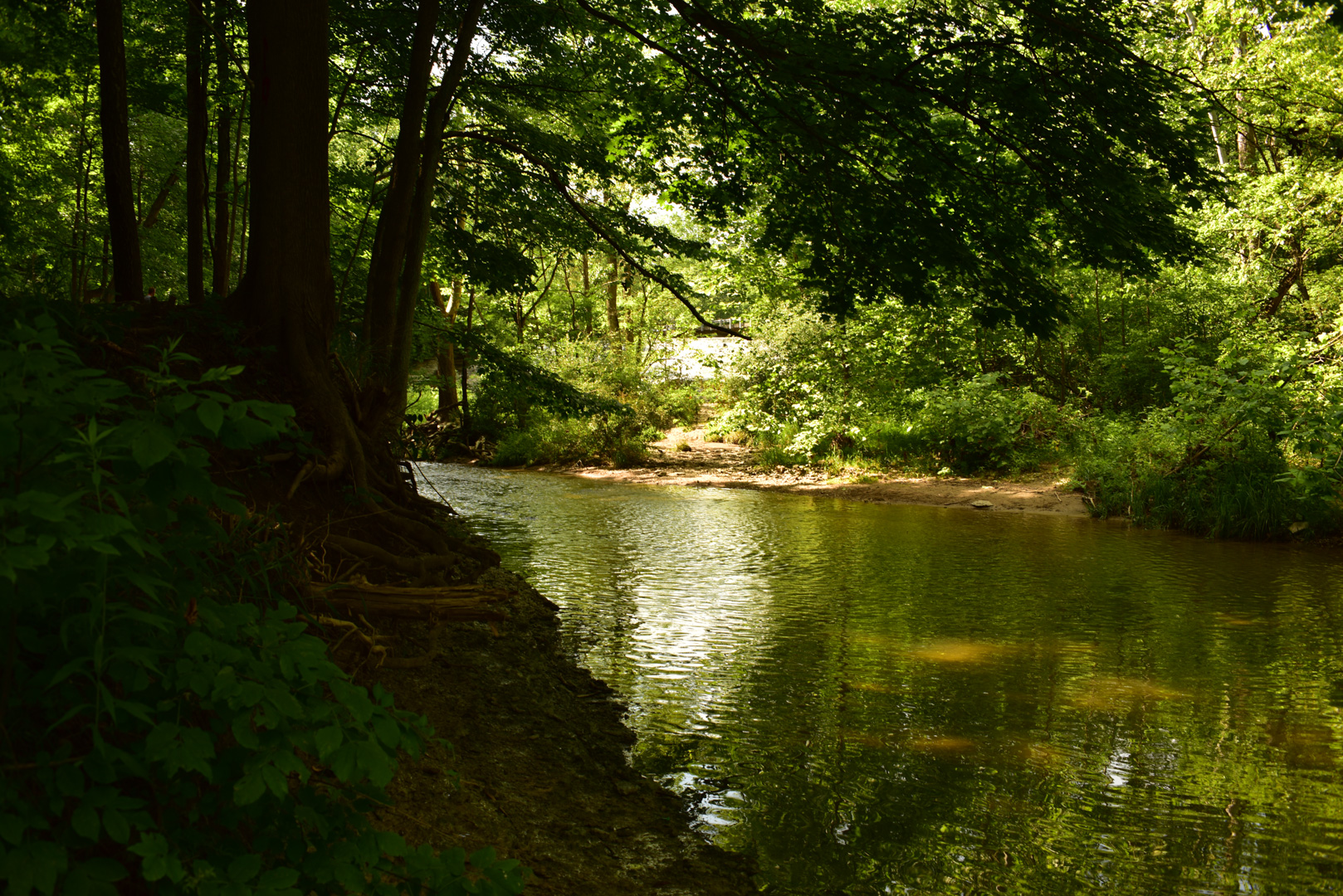
Thistlethwaite Falls
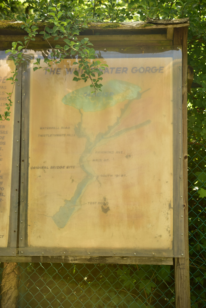
Manmade falls for power for a mill near Richmond Indiana
(Location ID: 174)
39.847305, -84.897879
Richmond, Indiana
Categories: Water Falls
Google Maps Link
Open Street Maps Link
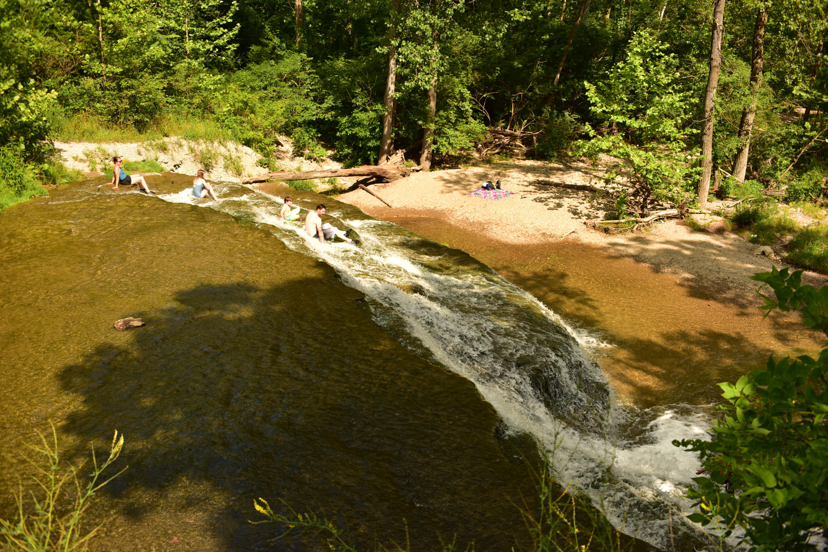
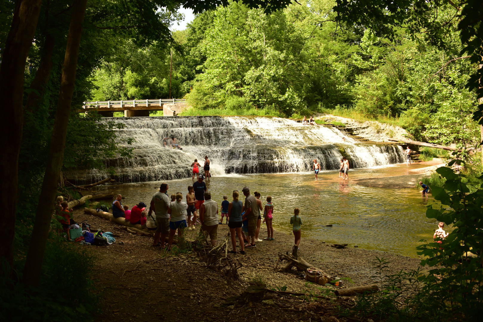
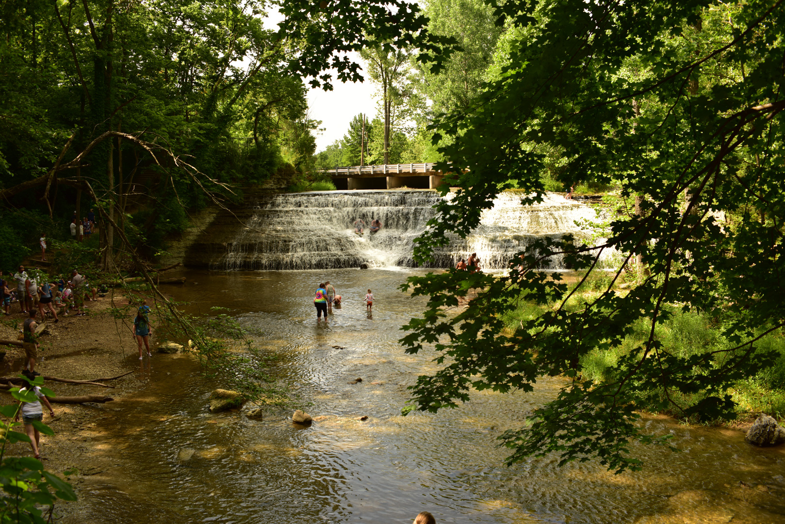
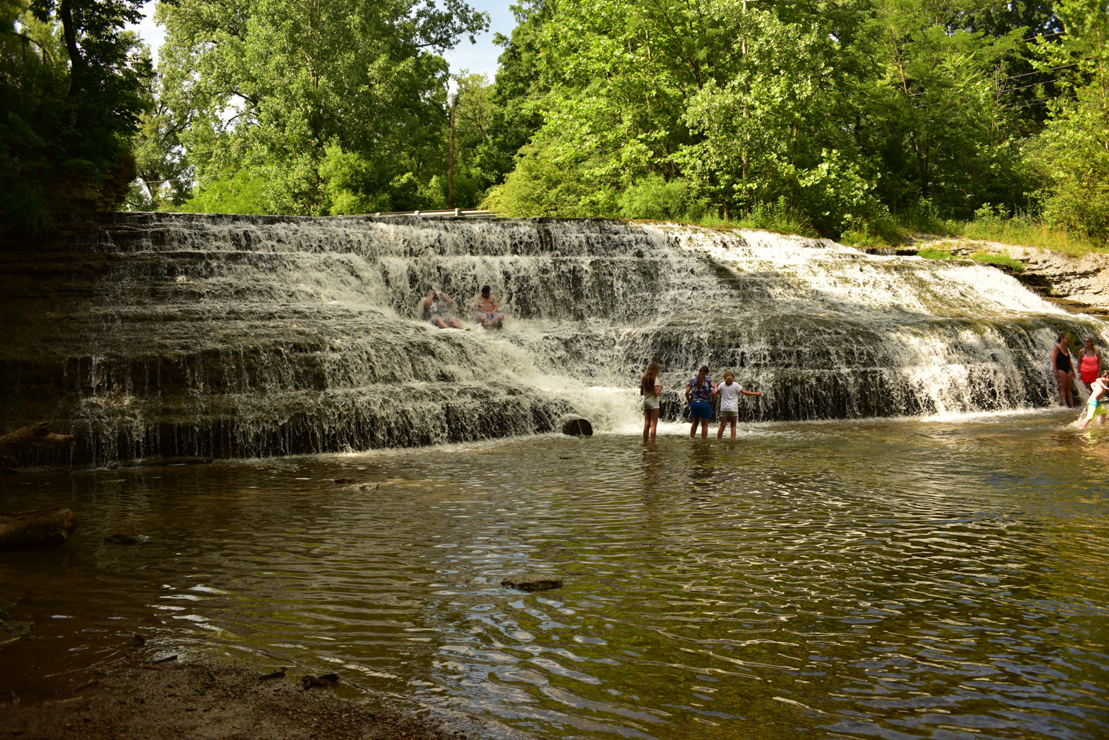
Thistlethwaite Falls was created in 1854 when Timothy Thistlethwaite and his brother in law Joseph Ratliff dammed the water of the river with the use of farm teams by placing large boulders at the bottom of an earth and stone fill in the river channel. This changed the course of the river to flow into a new channel over a rocky ledge forming the falls.
At it's peak, the 47 foot falls powered a grist mill, a flour mill, paper mill, and a lumber sawing mill in what was considered the Happy Hollow district of early Richmond, Indiana. All that currently remains is the pit at the falls which ran the bull wheels of the up and down saw and a portion of raceway to the paper mill site downstream.
Gaia GPS Link
Associated Files:
Richmond Visitors Guide.pdf - Richmond Visitors Guide
Thistlewaite Falls.pdf - Thistlewaite Falls notes