Gallery: 20250817 Acton Lake Paddle
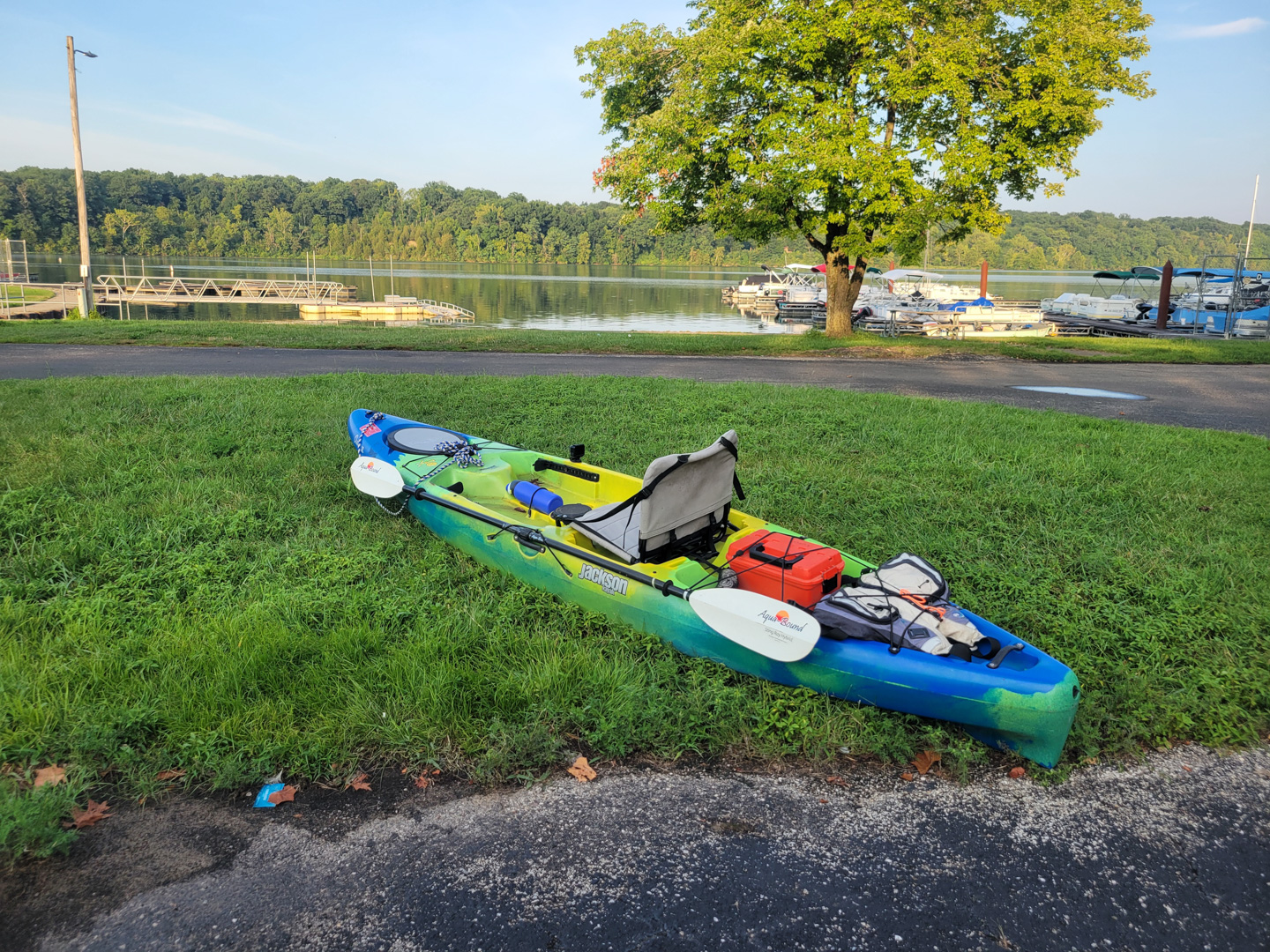
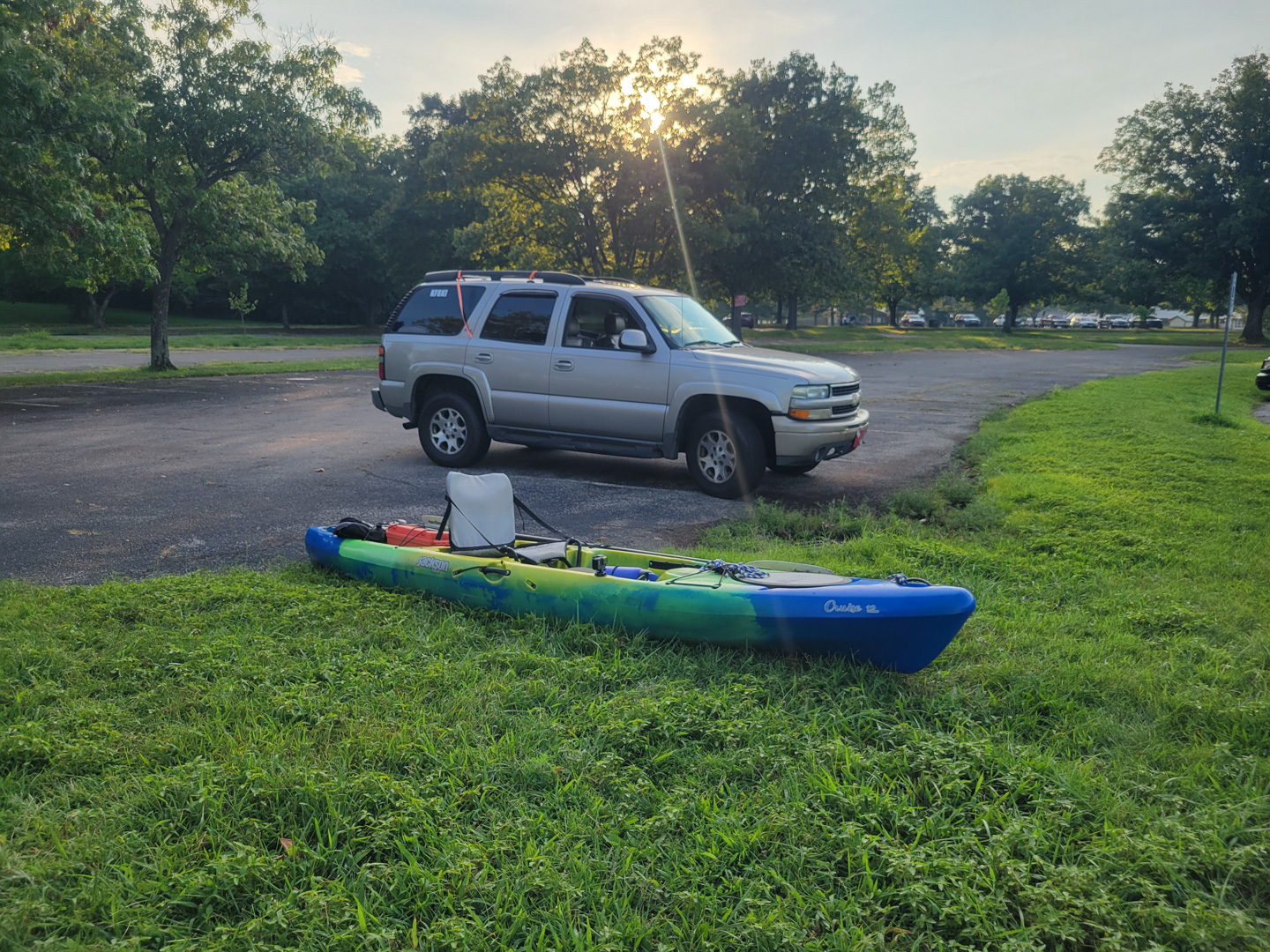
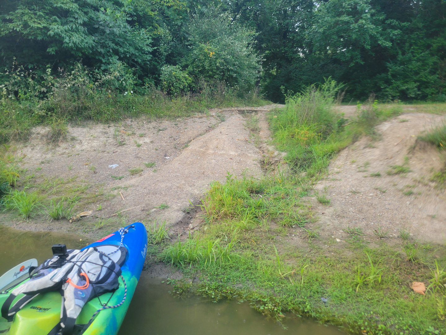
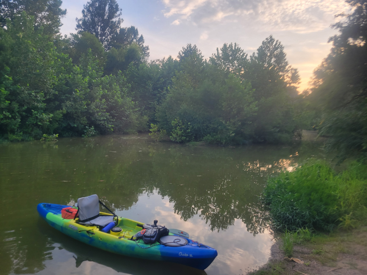
The state finally got around to replacing the culvert near the camp ground entrance at Hueston Woods and in it's place they put a nice bridge which looked like it could potentially be paddled to, so I decided to give it a try today. I haven't paddled at Hueston Woods in years and was rather surprised at the nice kayak launch facility they put in!
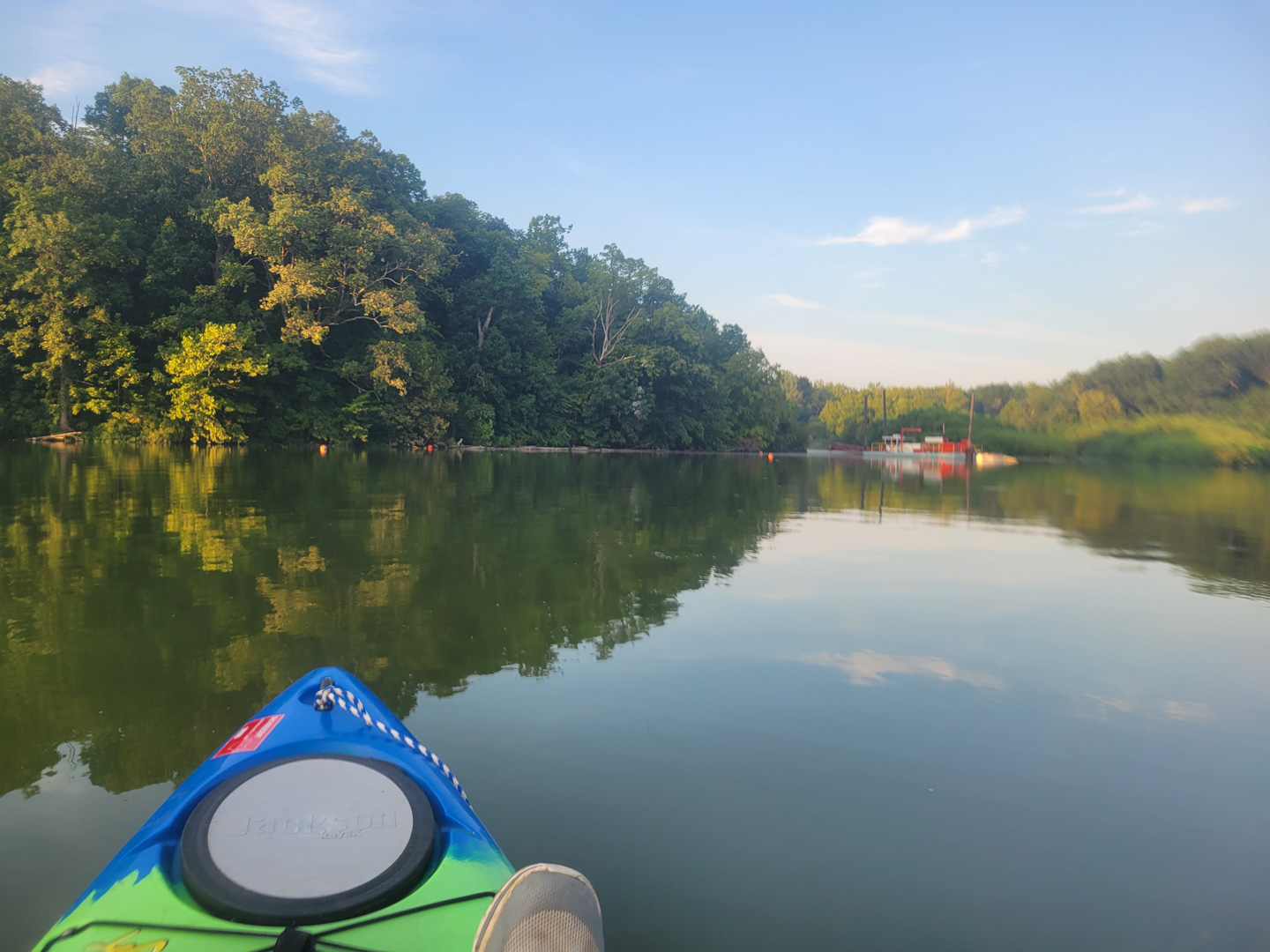
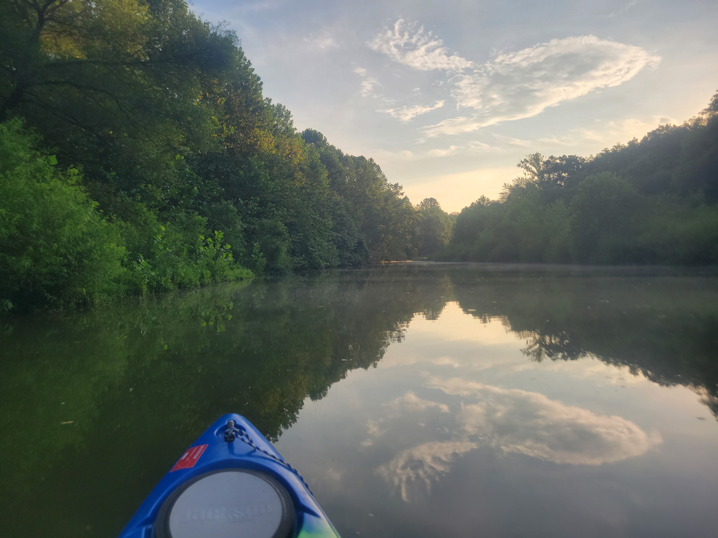
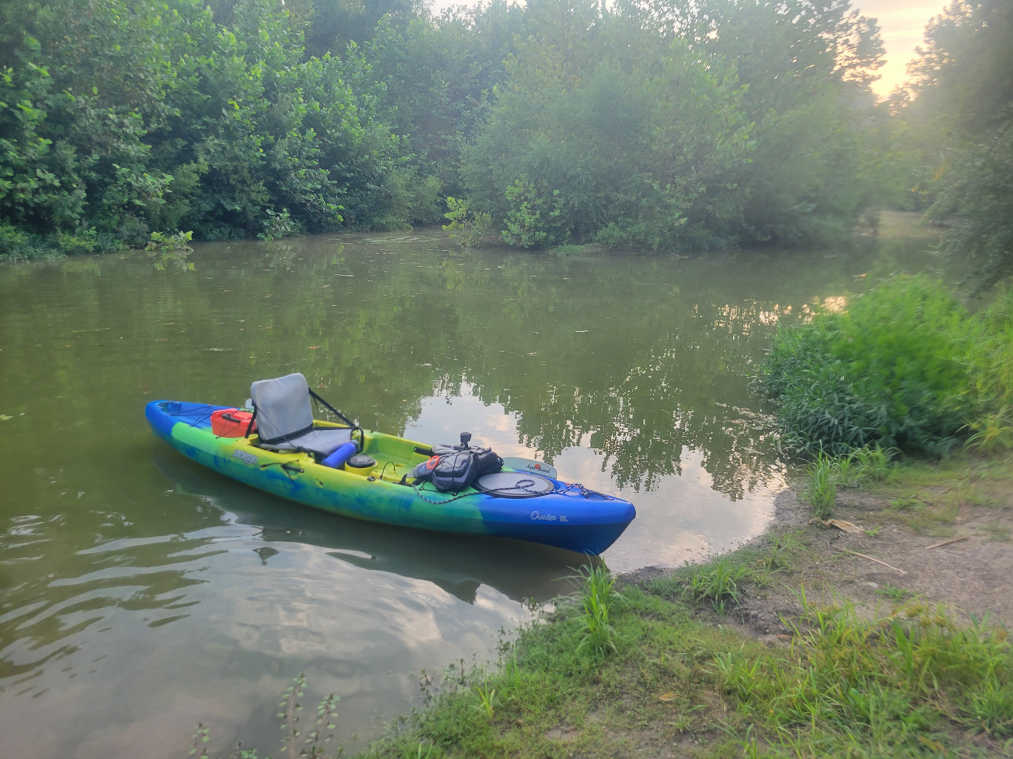
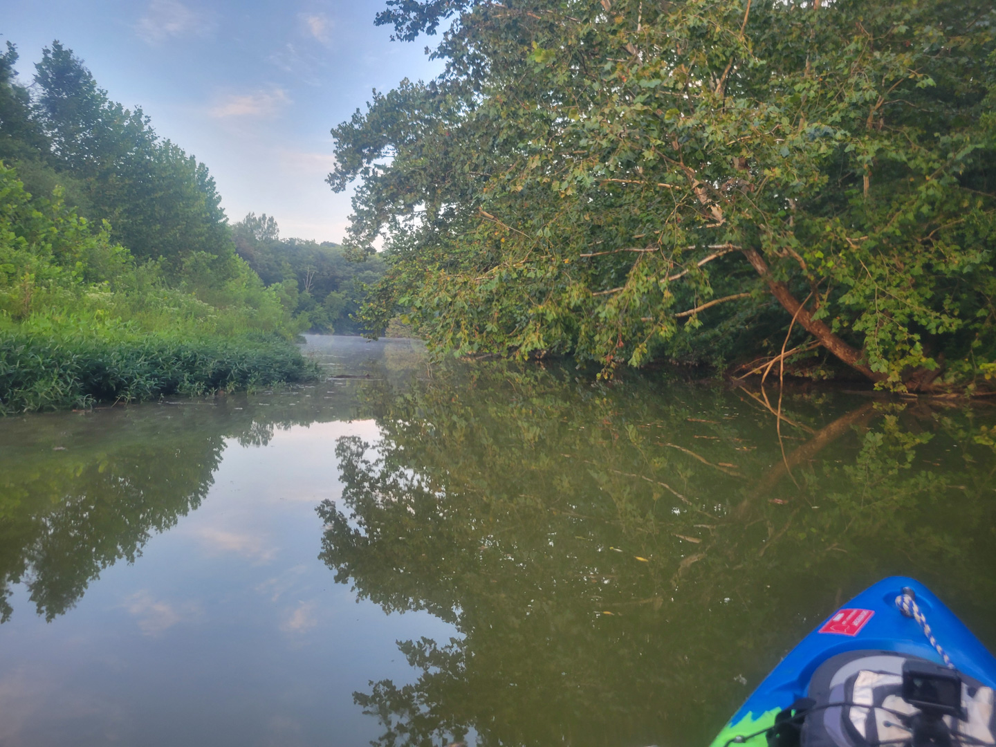
I launched and paddled my way past the marina and up into the various creeks off the main lake. On two different creeks, I was able to get pretty far back in the correct direction, but had to turn around when I ran into 4 inch deep water.
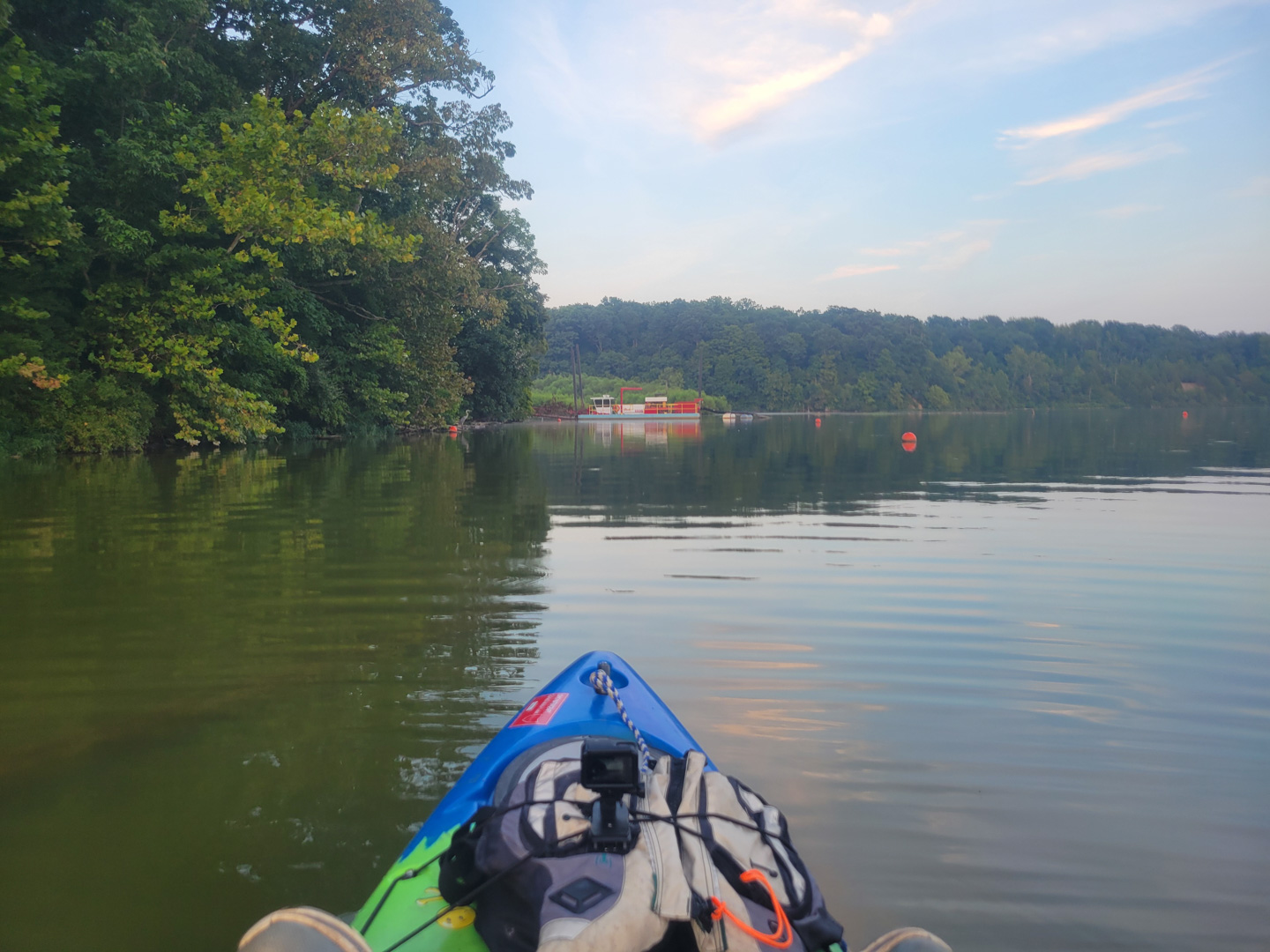
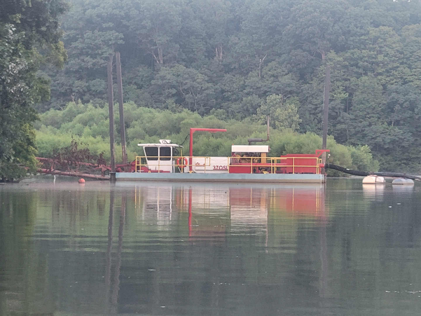
I was surprised to see a pipe running back toward the bridge in the northern of the creeks and figured out that it's running to what's apparently a dredge. I didn't realize the lake had to be dredged. Of course leave it to the state. They are pumping the dredge tailings up and back into Four Mile Creek. Yeah, that Four Mile Creek. The one that feeds and was dammed to make Acton Lake. They're pumping the dredgings back up the creek that's putting the material in the lake in the first place.
Some years back they relocated the marina further south in the lake, apparently because the marina kept getting silted in. You can paddle through the old pilings and it's maybe a foot deep there. Now I understand why.
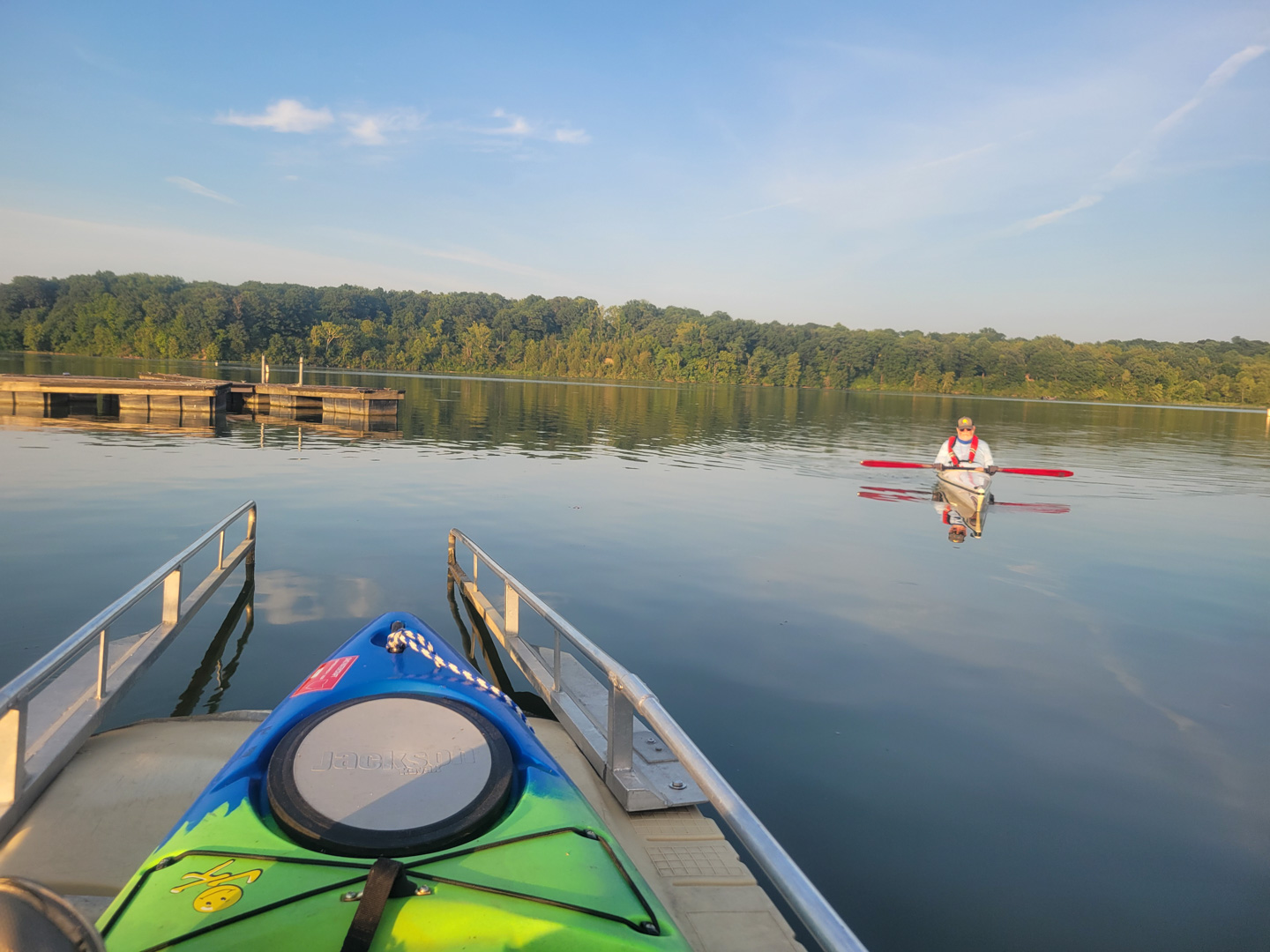
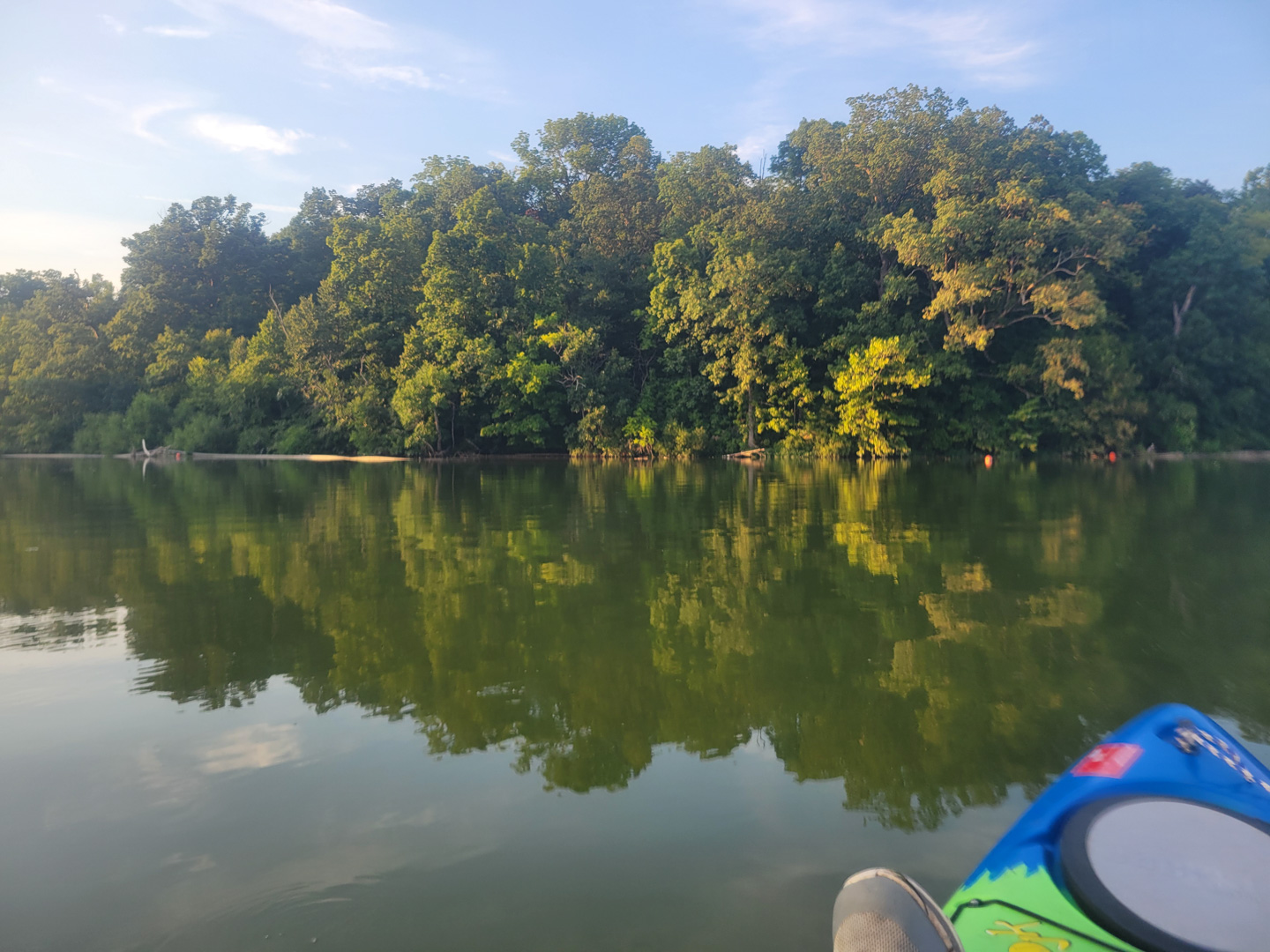
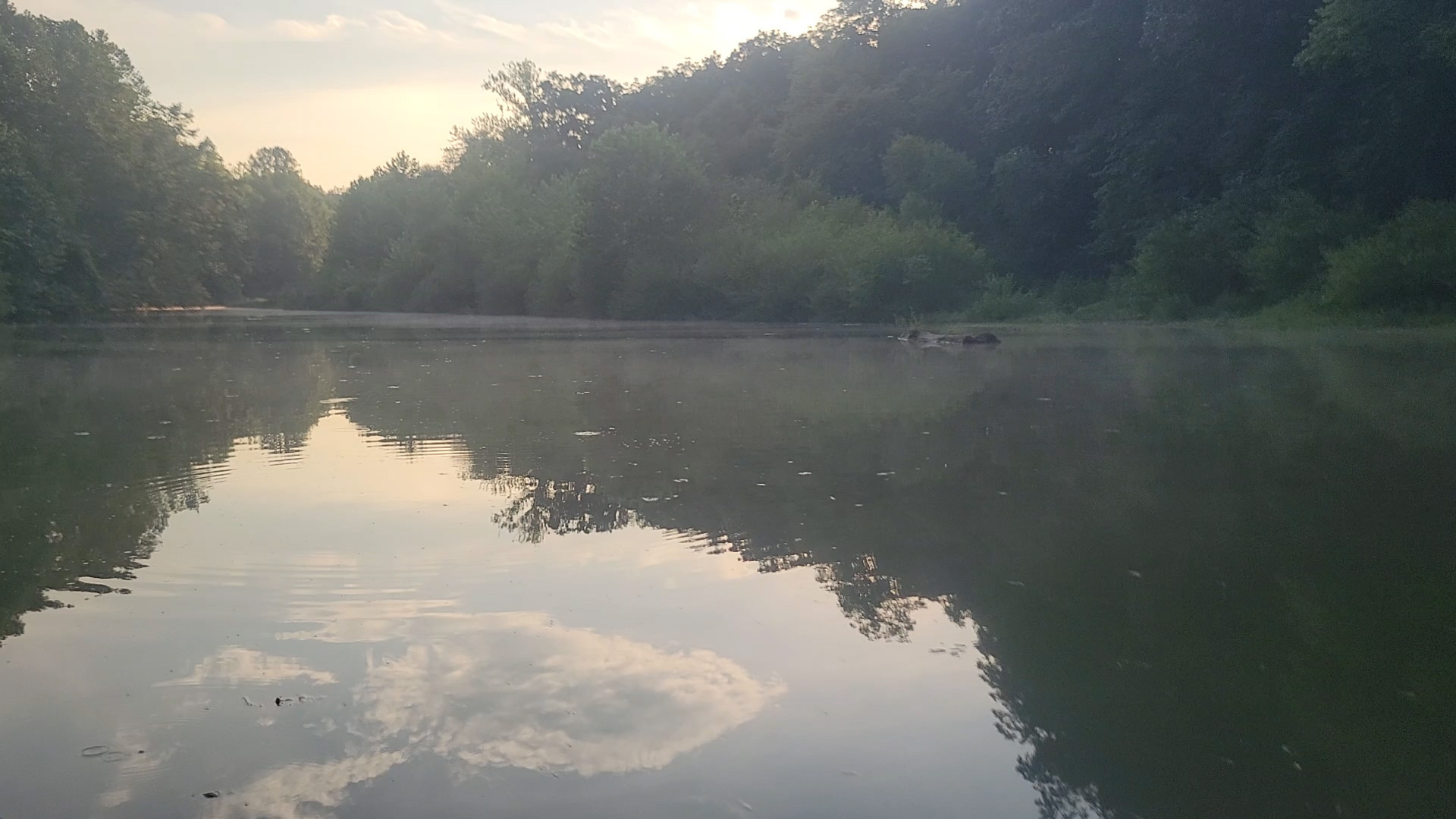
Engineering gaffs aside, it was a wonderful peaceful paddle with many heron and other birds spotted, and I'm looking forward to getting back up here again. There's another inlet north of where the dredge is anchored that I want to check out too.
GPX File: 20250816 Acton Lake.gpx
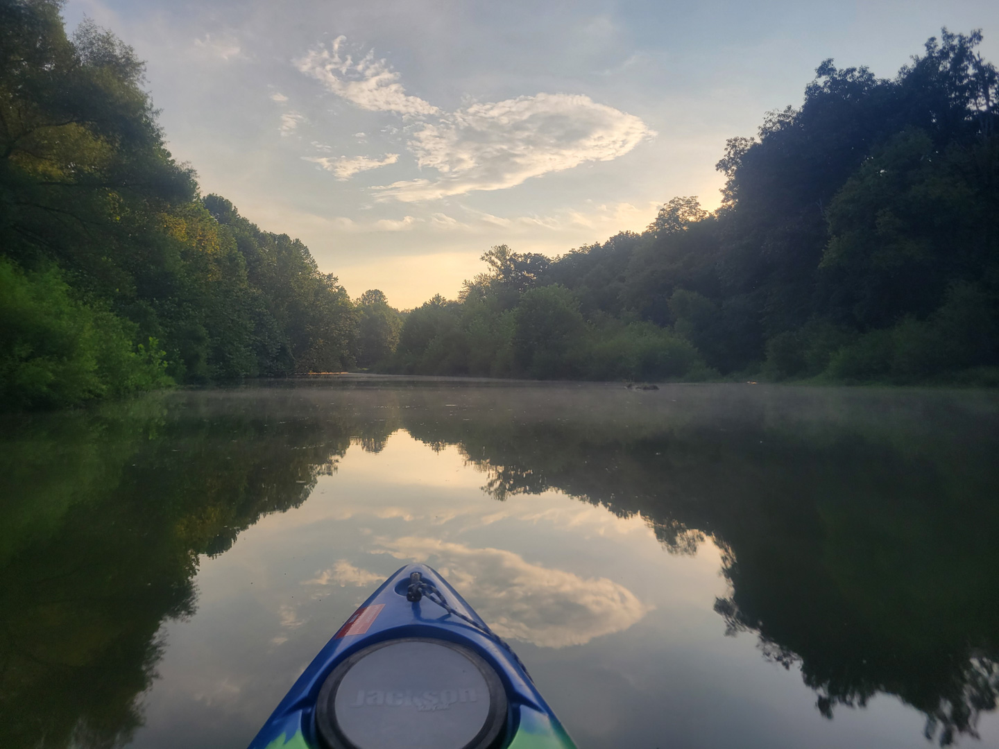
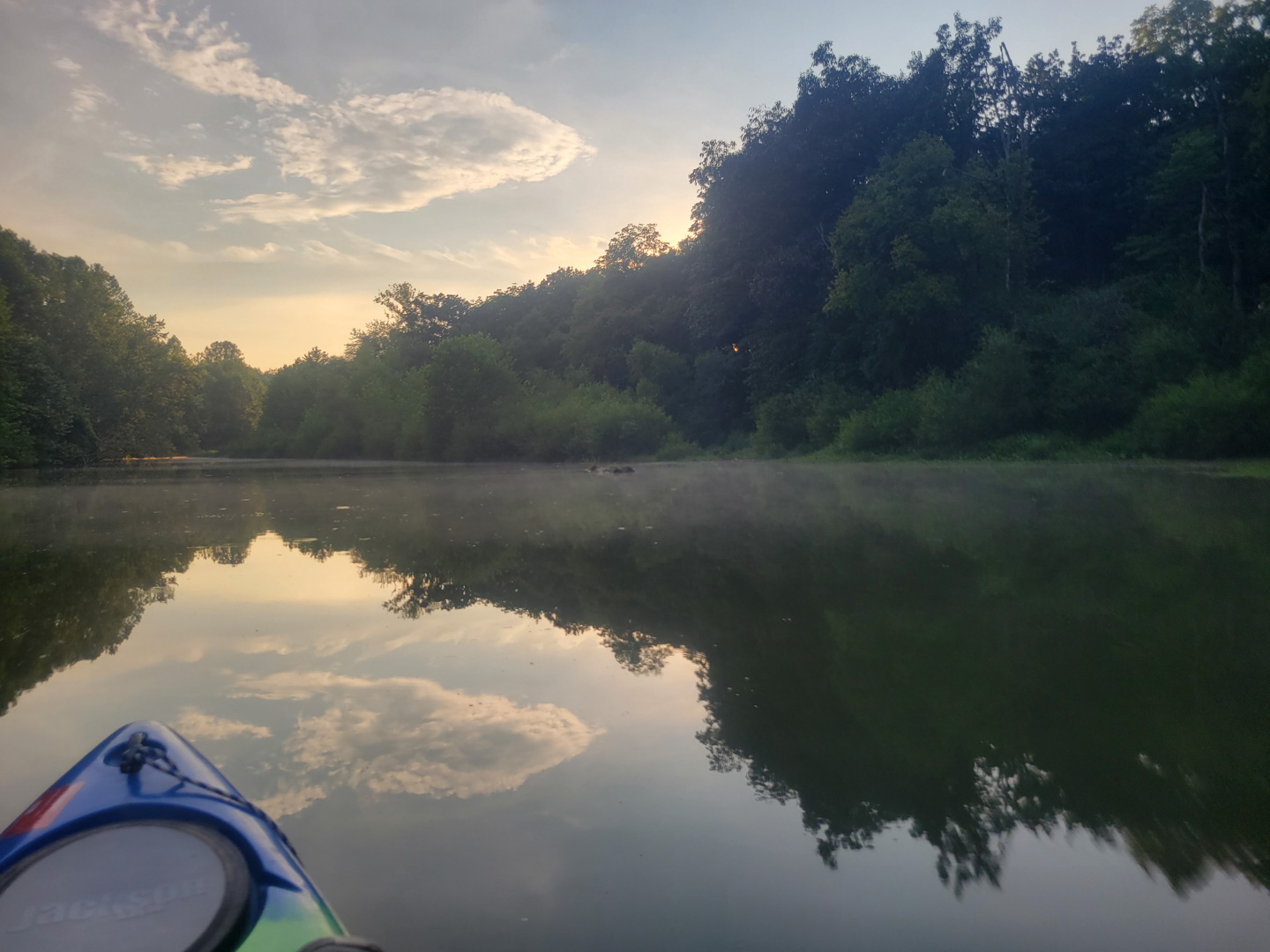
A 2.2 mile scenic paddle on Acton Lake in Hueston woods.
GPX File Attributes:
- version: 1.1
- creator: BackCountry Navigator on Android